Satellite Remote Sensing
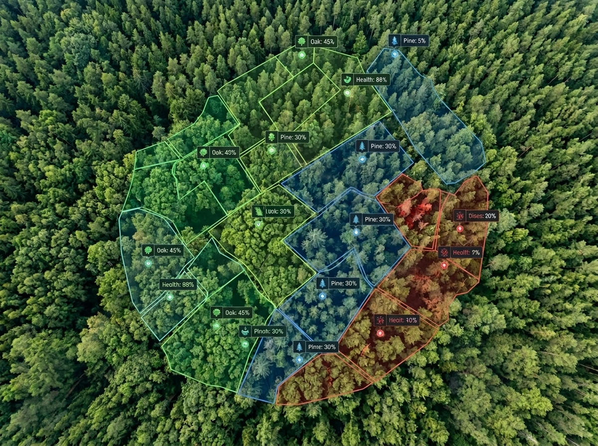
Multi-spectral imagery aids forest health assessment.
 Get Started
Carbon and biodiversity, measured from space and on the ground.
Get Started Trees Planted
 Hectares Covered
 Tons CO₂ Sequestered
Forests are crucial for climate stability and biodiversity, but monitoring them has been challenging. Mynzo uses precision AI, satellite intelligence and field data to provide real-time insights into global ecosystems.
Satellite Remote Sensing
Multi-spectral imagery aids forest health assessment.
Machine Learning Models
Machine learning helps identify changes in forest cover.
Carbon Sequestration Analysis
Algorithms convert forest data into carbon metrics.
Biodiversity Assessment
Satellite imagery and field sampling track habitat, species, soil and water health.
Temporal Insights
Analyze ecosystem shifts, disturbances, and long-term environmental changes across time.
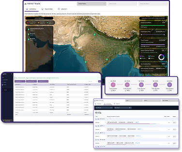
A unified system to analyze, control, and manage nature assets
Asset Analysis
Asset Control
Asset Management
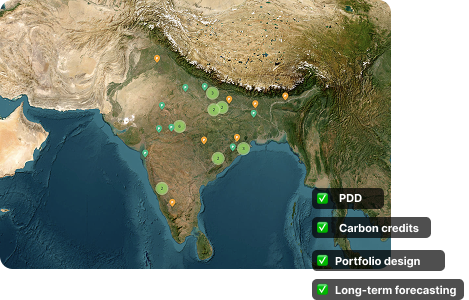
Biodiversity
Mynzo runs a dedicated biodiversity assessment next to carbon monitoring, combining satellite imagery with field samples to show how the whole ecosystem is changing.
See how land use and habitat cover change over time, mapped from satellite imagery.
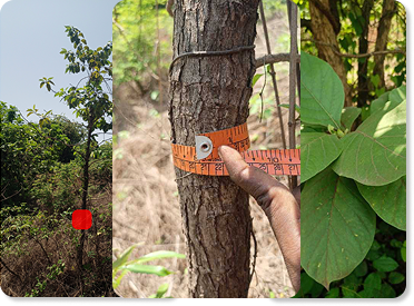
Record vegetation type, structure, canopy cover and disturbance on the mobile app across your sites.
Capture wildlife through geo-tagged photos, videos and audio recorded in the field.
Track soil health through lab-tested samples and ground-collected data across the project life.
Monitor water quality through lab-tested samples and ground-collected data from your sites.
Connect satellite observations and field measurements to the evidence your carbon and biodiversity reporting needs.
Explore digital MRV


Every data point is traceable, defensible, and ready for third-party review.
Forest structure and change observations, checked against suitable field data for your sites.
Reduce reliance on ground teams and drones while improving data quality and coverage.
Seamless integration into existing MIS, ERP, and reporting systems.
Manage net-zero and nature portfolios with full visibility and control
Plan forest and biodiversity monitoring and prepare evidence for project review
Track biodiversity and carbon across large ecosystems

Explore questions about forest condition, site records, biodiversity and carbon estimates with Reni.
Interactive demo. Responses and portfolio figures are illustrative.
Passionate experts combining cutting-edge technology with deep environmental knowledge.











Schedule a demo to see how mynzo revolutionizes forest and biodiversity intelligence.
Get Started